Your privacy is important to us.
This website uses cookies to help deliver its services. By using this website, you agree to the use of cookies as outlined in our Privacy Policy.
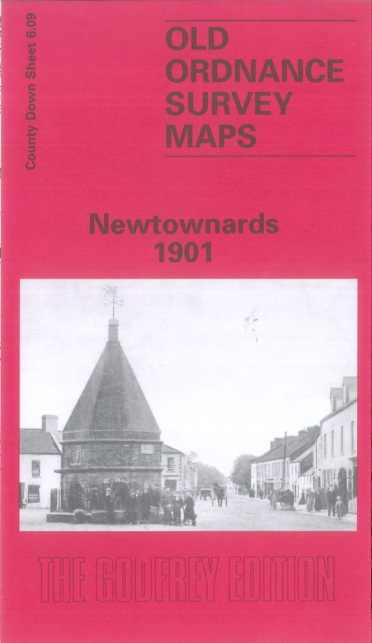
Alan Godfrey Map: Newtownards 1901
County Down Sheet 6.09
This very detailed map of Newtownards is double-sided for maximum coverage.
The main map covers the town centre and east of the town, with coverage extending from Frederick Street and St Mark’s church eastwards to the cemetery and ruined Movilla Church. Features include the town centre shown in detail with individual houses, railway with station, cattle market, Castle Garden Mills, Carleton Bridge, ruined towers, ruined old church, Conway Square, Town Hall, St Patrick’s RC church, Court House, Movilla Weaving Factory, Movilla House, handkerchief works, Ards Recreation Ground, Regent Street, Francis Street, High Street etc.
On the reverse is part of adjacent sheet 5.12 extending coverage westwards to include Model School, Workhouse, Brooklands Manse, section of railway, Scrabo Cottage, Kiltonga Bleach & Dye Works and Springfield Manse.
__
Local knowledge, a friendly community and support in your research: NIFHS Killyleagh Branch

 Login
Login Basket

