Your privacy is important to us.
This website uses cookies to help deliver its services. By using this website, you agree to the use of cookies as outlined in our Privacy Policy.

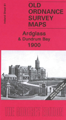
Alan Godfrey Map: Downpatrick 1901
Town Plans 1-3 Downpatrick 1901
This detailed map includes all three Town Plans for Downpatrick, reduced in scale to 24 inches to the mile.
The map is double-sided, with sheets 2-3 on the main side, sheet 1 on the reverse. Most of the town centre is shown on the main side and features on sheets 2-3 include town centre, station, Cathedral, Infantry Barrack, Court House, Ardmore, markets, St Patrick’s RC church, St Margaret’s Church, Irish Street, Market Street, English Street, Infirmary etc. On the reverse, sheet 1 covers the northern part of the town including the starch works and Rathkeltar.
A 1900 directory of inhabitants is included.
__
Local knowledge, a friendly community and support in your research: NIFHS Branches

 Login
Login Basket